
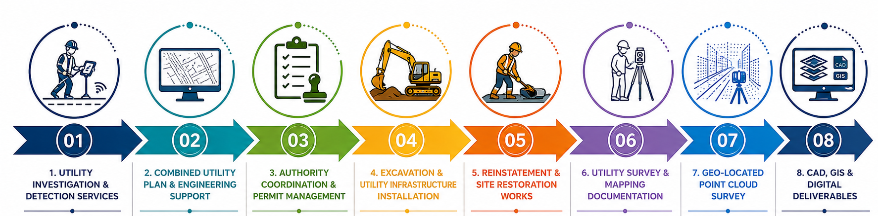
Our Services

1. Utility Investigation & Detection Services
Prior to any excavation works, we conduct comprehensive underground utility investigations to identify existing services and reduce project risks
Services include:
• Existing Utility Records & Plant Map Review
• Electromagnetic Location (EML) Cable Detection
• Ground Penetrating Radar (GPR) Scanning
• Underground Utility Mapping
• Utility Conflict Identification
• Trial Trenching & Verification Works
• Utility Coordination and Assessment

2. Combined Utility Plan & Engineering Support
We develop accurate Combined Utility Plans by integrating
Services include:
• Existing Utility Records
• GPR Survey Results
• EML Detection Data
• Trial Trench Verification Findings
• Topographical Survey Information
These plans provide clients with a comprehensive understanding of underground conditions for project planning and design development.
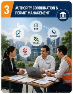
3. Authority Coordination & Permit Management
We manage coordination and submissions with relevant government authorities, utility owners, infrastructure agencies, and telecommunications service providers required before excavation works commence. Our team is experienced in handling submissions and approvals in accordance with the requirements of the respective authorities and stakeholders
Services include:
• Purchase of Plant Maps from Relevant Authorities
• Notice of Commencement of Excavation (NCE) Applications
• Authority Liaison & Coordination
• Utility Clearance Submissions
• Traffic Management Coordination
• Permit Documentation Preparation
• Compliance Management
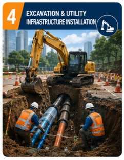
4. Excavation & Utility Infrastructure Installation
Following authority approvals, we undertake construction and installation works for underground utility infrastructure
Services include:
• Cable Trenching and Pipe Installation Works
• Power Cable Installation
• Telecommunications Pipe Installation
• Manhole Construction & Installation
• Underground Utility Diversion Works
• Utility Protection Works
• Joint Pit Installation
• Civil Engineering Support Works
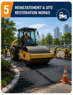
5. Reinstatement & Site Restoration Works
Upon completion of utility installations, we restore affected surfaces to authority specifications
Services include:
• Road & Asphalt Reinstatement
• Turfing & Landscape Restoration
• Concrete Reinstatement
• Footpath Reinstatement
• Site Restoration Works
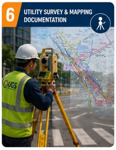
6. Utility Survey & Mapping Documentation
After installation of Utilities, we conduct detailed surveys to accurately capture newly installed infrastructure and prepare as-built records in accordance with Utility Survey Standard (USS) requirements and authority submission guidelines, ensuring accurate asset positioning, comprehensive documentation, and compliance with regulatory standards
Services include:
• Utility Survey
• Underground Utility Mapping
• Asset Position Verification
• Infrastructure Documentation
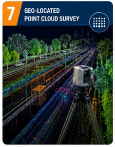
7. Geo-Located Point Cloud Survey
Using advanced surveying technologies, we provide highly accurate geospatial data for asset management and digital project delivery.
Services include:
• Geo-Located Point Cloud Survey
• 3D Laser Scanning
• Infrastructure Asset Capture
• Geospatial Data Collection
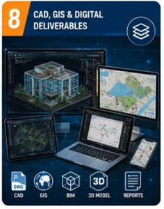
8. CAD, GIS & Digital Deliverables
We prepare professional digital deliverables that meet client and authority requirements.
Deliverables include:
• AutoCAD Drawings
• Combined Utility Drawings
• GIS Data Files
• Shapefiles & Geodatabase Outputs
• Survey Reports
• As-Built Documentation
• Authority Submission Packages.